Aerial Mapping and Surveying
ServicesAerial Mapping and Surveying
What We Offer
Experience Affordable Excellence in Aerial Mapping and Surveying
5 Years Of Experience In Aerial Mapping and Surveying
With over 5 years of expertise in the field, we are a leading aerial mapping and survey agency dedicated to delivering top-notch services at affordable rates. Our team combines cutting-edge technology with extensive knowledge to provide accurate and reliable aerial mapping and surveying solutions. Trust us to capture detailed aerial data, create comprehensive maps, and deliver actionable insights for your projects. Experience the difference of working with seasoned professionals who prioritize quality and affordability.
Make Strategy
Collaborate with our expert team to define your objectives and develop a strategic plan tailored to your project requirements.
Planning
Our skilled professionals meticulously plan the aerial mapping and surveying process, considering factors such as optimal flight paths, data collection techniques, and safety protocols
Execute
With precision and expertise, we deploy advanced UAV technology to capture high-resolution aerial data, covering the designated areas of interest.
Processing
Our cutting-edge software and advanced algorithms process the collected data, transforming it into accurate and actionable information.
Output
Receive comprehensive reports, detailed maps, and insightful analyses that empower you to make informed decisions and drive the success of your projects.

What We Offer
Unleash the Power of Aerial Mapping, Surveying, and Drone Services
- At Flotanomers R&D Pvt Ltd, we offer a comprehensive range of services tailored to meet your aerial mapping, surveying, and drone-related needs. Our expertise encompasses:
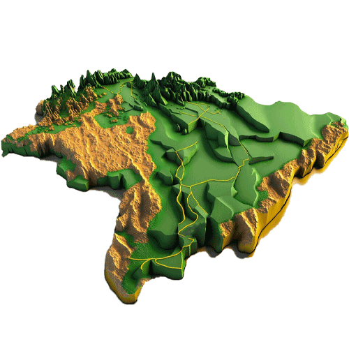
- Aerial Mapping: Utilize the latest drone technology and advanced imaging techniques to capture high-resolution aerial imagery, creating detailed maps for various applications including land surveys, infrastructure assessment, and environmental monitoring.
- Survey Agency: Trust our experienced team to conduct precise and accurate surveys using cutting-edge UAV technology. We specialize in land surveys, topographic mapping, 3D modeling, and more, providing essential data for construction, urban planning, and resource management.
- Drone Services: Our fleet of state-of-the-art drones is at your service, offering a wide range of solutions for diverse industries. From aerial photography and cinematography to industrial inspections and disaster management, we deliver efficient and effective drone services customized to your specific requirements.
What We Offer
Unleash the Power of Aerial Mapping, Surveying, and Drone Services
Experience the power of aerial mapping, surveying, and drone services with Flotanomers R&D Pvt Ltd. Our commitment to excellence, innovation, and client satisfaction sets us apart. Trust us to transform your vision into reality with cutting-edge technology and unparalleled expertise.
Achieve Remarkable Orthomosaic Accuracy with Flotanomers R&D Pvt Ltd
Experience the difference of working with Flotanomers R&D Pvt Ltd and witness a significant increase in orthomosaic accuracy. Trust us to deliver outstanding results that exceed your expectations and unlock the true potential of aerial mapping technology.
GLOBAL QUESTIONS
Discover the Answers to the Most Popular Inquiries Worldwide
Explore our comprehensive database of frequently asked questions, compiled by industry experts and seasoned professionals. From beginners to seasoned enthusiasts, our Global Questions section caters to a diverse audience, providing insightful answers and valuable insights.